
Marine spatial planning areas and plans
Marine spatial plans
A marine spatial plan is a document created through the MSP process. In Canada, we are developing plans that:
- describe a planning area's vision and economic, ecological, cultural and social objectives
- establish boundaries for the planning area
- provide an overview of the environmental context, activities and uses in that planning area
- reflect our commitment to work with provincial, territorial and Indigenous partners
- enable the advancement of various interests and priorities
Marine spatial plans are a framework to view the planning area through a holistic lens. These frameworks identify suitable and unsuitable areas for a range of marine activities. Some areas may require special protection measures.
MSP participants work together on local, regional and national levels throughout the process. The more comprehensive the plan, the more benefits it can provide. For example, marine spatial planning frameworks can identify and address competing interests. Then, governments and industries can plan their activities equitable, efficiently and effectively.
Regional marine spatial planning frameworks continue to evolve to reflect:
- new information
- ongoing engagement
- emerging priorities in the ocean environment
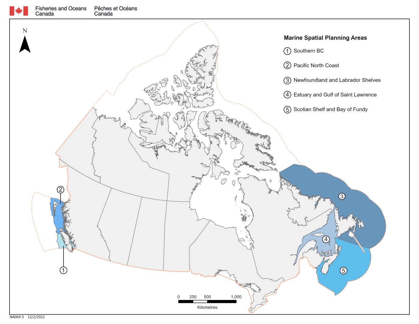
Marine spatial planning areas
There are 5 marine spatial planning (MSP) areas across Canada:
- Southern British Columbia
- Pacific North Coast
- Newfoundland and Labrador Shelves
- Estuary and Gulf of St. Lawrence
- Scotian Shelf and Bay of Fundy
Each planning area is ecologically, socially, and culturally unique.
Boundaries for the planning areas take into account:
- biological and physical characteristics of the ocean environment
- the level of human activity
- Date modified: