
Newfoundland and Labrador Shelves
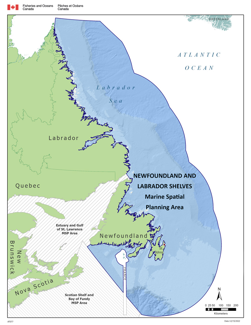
The Newfoundland and Labrador Shelves planning area encompasses the area from Cape Chidley at the northern tip of Labrador to the southern Grand Banks and south coast of Newfoundland and from the high-water-mark to the limit of Canada's Exclusive Economic Zone (EEZ). The planning area is approximately 1,000,000 km².
The ocean and its resources have always played a vital role in the economy, environment and culture of Newfoundland and Labrador. Implementation of marine spatial planning (MSP) in the region will take into consideration these strong connections. Coastal communities have traditionally relied on the fishery and it continues to be an important economic driver. This includes commercial, recreational and Indigenous fisheries and species, such as snow crab, shrimp, lobster, Atlantic cod and Atlantic salmon. Other important coastal and ocean industries include aquaculture, oil and gas, shipping and tourism. There is growing interest in opportunities to develop renewable energy.
We have identified numerous Ecologically and Biologically Significant Areas (EBSAs)Footnote 1 throughout the planning area, which include important habitats, such as eelgrass and cold-water corals and sponges. These support both commercially important fish stocks as well as marine species that are sensitive or at risk including fish, marine mammals, turtles and birds. The planning area includes three Oceans Act marine protected areas (Eastport, Gilbert Bay and Laurentian Channel), a number of Fisheries Act marine refuges (such as the Northeast Newfoundland Slope, Hopedale Saddle and Hawke Channel), as well as smaller federal and provincial areas for bird protection.
Governance
We lead MSP in partnership with other federal departments, the Government of Newfoundland and Labrador and the 5 Indigenous Governments and Organizations in the region:
- Nunatsiavut Government
- Innu Nation
- NunatuKavut Community Council
- Miawpukek First Nation
- Qalipu First Nation
Key stakeholders include non-government organizations and industry groups, such as the fishing and oil and gas sectors. A number of regional ocean management committees provide expertise, perspective, coordination and oversight. Coastal communities and other ocean users are being engaged in MSP to provide additional insight as the process unfolds. By working together, we:
- enable better coordination
- anticipate and reduce conflict
- support diverse marine interests
- create tools to support ocean planning and decision-making
Priorities
Engagement activities and sharing of data and information for the entire Newfoundland and Labrador Shelves planning area are ongoing in order to identify specific areas where MSP effort could be focused to help advance economic opportunities. Aquaculture or wind energy, as well as conservation initiatives, such as the establishment of marine protected areas or parks are being considered. In particular, we are helping Indigenous organizations increase their capacity to participate in the MSP process. Engagement with marine industry sectors and environmental non-governmental organizations (ENGOs) is also underway to seek input for consideration in the MSP process.
Contact us
Marine Planning and Conservation
Oceans-NL.XNFL@dfo-mpo.gc.ca
Related information
- Marine Spatial Planning Framework for the Newfoundland and Labrador region
- Coastal Restoration Fund
- Coastal Environmental Baseline Program
- Canadian Nature Fund for Aquatic Species at Risk
- Cumulative Effects of Marine Shipping
- Ocean Supercluster Initiative
- Blue Habitats
- Canada's Oceans Now
- Canada's Changing Climate (PDF, 35.7 MB)
- Date modified: