
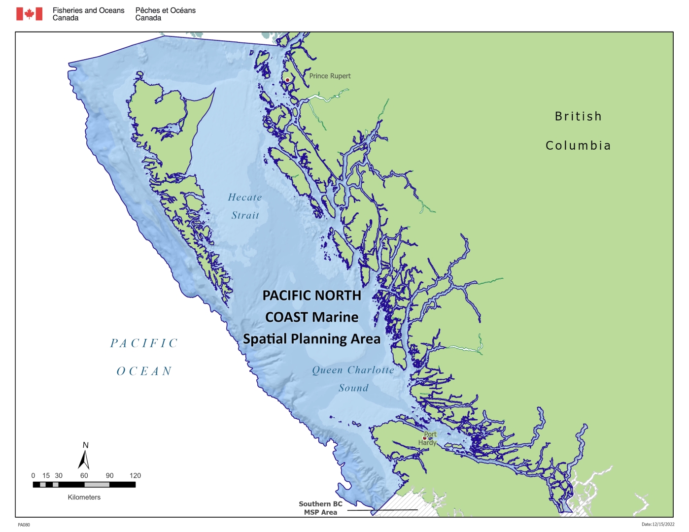
Pacific North Coast
The planning area is the transition zone where the Alaska Coastal Current and the California Current meet. It is home to approximately 40 First Nations. Key industries include (in no order of priority):
- renewable energy
- commercial and recreational fishing
- aquaculture
- seafood processing
- marine transportation and shipping
- tourism
- forestry
Due to its relative remoteness and intrinsic ecological and biological richness, the Pacific North Coast also provides important habitat for many marine animals including fish, marine mammals, invertebrates and birds. There are also a number of Ecologically and Biologically Significant Areas (EBSAs)Footnote 1 identified in the planning area.
There is a long history of planning in the area which marine spatial planning will build upon. This includes:
- Marine Use Plans developed by First Nations for their territories.
- The Pacific North Coast Integrated Management Area Plan, which was endorsed in 2017 by First Nations, the Province of British Columbia, and Canada. The “PNCIMA Plan” provides direction on and commitment to integrated, ecosystem-based and adaptive management of marine activities and resources in the planning area.
- The BC Marine Plan Partnership, which is a marine spatial planning initiative between the Province of BC and First Nations.
- The Northern Shelf Bioregion Marine Protected Area (MPA) Network Action Plan, which was endorsed in 2023 by First Nations, the Province of British Columbia, and Canada. The “Network Action Plan” provides a blueprint for the siting of Indigenous, provincial, and federal protected areas in the Pacific North, as well as recommended timelines and governance considerations for implementation.
The Pacific North Coast planning area encompasses the Northern Shelf Bioregion (NSB). The NSB is one of 13 ecologically-defined bioregions that cover Canada's oceans and Great Lakes and represents the greatest possible extent within which "planning in the North" will occur; smaller units for planning may be identified within depending on planning objectives.
Governance
We will coordinate marine spatial planning in the Pacific North Coast planning area in partnership with First Nations governments and organizations, federal departments and agencies and provincial ministries. Collaborative governance agreements will be established between Canada and its Indigenous partners, and will be amended as needed over time in order to enable expanded partnerships with First Nations as and when they are interested in entering such agreements. Marine spatial planning is subject to existing and developing management agreements, plans, land claims and treaties and reconciliation agreements. Important stakeholders include the marine industry sectors and their representatives, non-governmental organizations and several multi-sector groups and committees. By working together, we:
- enable better coordination
- anticipate and reduce conflict
- support diverse marine interests
- create better tools to support ocean planning and decision-making
- support ongoing monitoring and adaptive management
Capacity support for participation by First Nations and stakeholders is available through the Oceans Management Contribution Program.
Priorities
MPA network planning
Since 2014, Canada has partnered with 15 First Nations and the Province of British Columbia (BC) to create a planned approach for a network of Marine Protected Areas in the Northern Shelf Bioregion. Network planning is similar to a marine spatial planning process, but is focused on conservation, and is identified as a priority in the PNCIMA Plan. The resulting Network Action Plan provides a spatial plan for conservation objectives, which can be used to support broader marine spatial planning for multiple objectives. The Network Action Plan and its three compendiums describe significant work to understand the Northern Shelf Bioregion – its ecological, socio-economic, and cultural environments. This understanding builds a strong foundation for broader marine spatial planning in the north coast.
Development of the Network Action Plan was a collaborative effort in which partners worked together to pre-plan the approach, establish governance and vision, undertake technical work, establish objectives, design the network and complete the Network Action Plan. Future steps to implement the network and sites within it will continue to be undertaken collaboratively.
Advancing marine spatial planning
Now that network planning is complete and a Network Action Plan has been endorsed, we can consider broader marine spatial planning which build on the existing planning in the north coast and complements planning underway in the south coast.
Future marine spatial planning efforts in the Northern Shelf Bioregion in which Fisheries and Oceans Canada is involved will be undertaken collaboratively and in partnership with First Nations and other governments. Planning will be informed by transparent, timely, accessible, and adaptive stakeholder engagement processes, and will draw on the best available information, including Indigenous knowledge and science, and may utilize decision support tools such as the Canada Marine Planning Atlas.
Contact us
DFO.PACOceansProgMSPN-PSMNprogoceansPAC.MPO@dfo-mpo.gc.ca
Related information
- Date modified: