
Community Hydrography
In this section
About Community Hydrography
An initiative under the Government of Canada’s Oceans Protection Plan, Community Hydrography is a five-year (2022 to 2027) program supporting coastal communities to collect and use bathymetric data and information for their own community purposes. Bathymetry is the measurement of the depth of water in oceans, rivers and lakes. Bathymetric data can help to improve marine safety, community planning, identification of undersea hazards and sensitive marine environments, as well as fishing and harvesting.
Hydrography is the science that measures, describes and charts the physical features of water bodies.
How it works
Here are 2 of the ways that communities can participate in the program:
- Data loggers: The communities can access equipment, such as data loggers used on vessels, to collect bathymetric data. This equipment is easy to install and simple to use making it ideal for beginners in hydrography. Data can be logged during everyday activities such as fishing, transiting, or in more targeted ways for specific community purposes. The community can also access training to learn how to use the equipment and the data collected
- Open call for hydrographic projects: Communities can submit proposals for funding to support the delivery of specific community projects focused on bathymetric and hydrographic data collection and analysis. Learn more about currently funded projects in the table below
Visit our Ecosystems and Oceans Science Contribution Framework for more information on Community Hydrography funding opportunities.
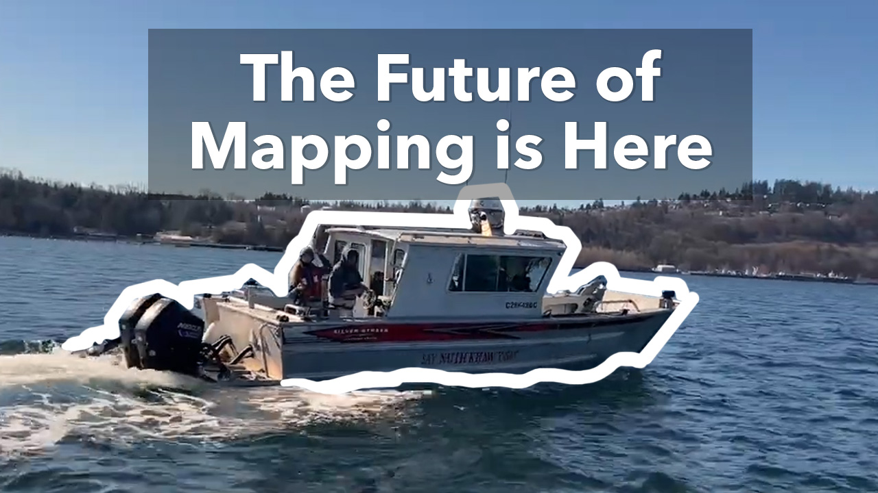
Video: A new era of mapping
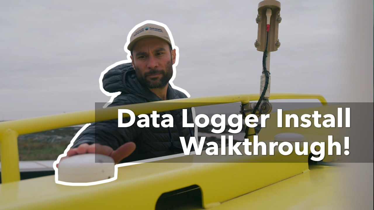
Video: Installing a new mapping device on your vessel
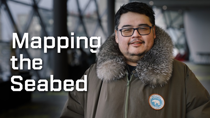
Video: Mapping the seabed
Principles
The Community Hydrography program and its selection criteria are guided by the following principles:
- Sustainability: The program seeks to develop and strengthen community hydrographic skills and knowledge to ensure that community hydrography efforts continue after the program ends
- Data sovereignty: Following the First Nations Information Governance Centre’s principles of ownership, control, access and possession (OCAP), the program ensures Indigenous control of data collection within their communities as well as ownership and control of how this information is stored, interpreted, used, or shared
- Sharing knowledge: The program encourages the sharing of lessons learned for the sustainability of community hydrography initiatives
Projects
Discover the projects that have been funded through the Community Hydrography Program.
| Description | Time frame | Funding amount |
|---|---|---|
Participative and community-led coastal bathymetric surveying in Kugluktuk, Nunavut Recipient: Kugluktuk Angoniatit Association Project objective: To develop a community-led bathymetry initiative that empowers Kugluktuk community members to collect, interpret, and use bathymetric data in nearshore waters and improve overall safety to navigation for the community. |
2025 to 2027 | $212,828 |
Hydro-Access: Promoting hydrography among communities with accessible hydrography training resources Recipient: Université Laval Project objective: To collaboratively develop, test, and disseminate accessible, practice-oriented hydrography learning resources in order to empower Indigenous and non-Indigenous coastal and riverside communities across Canada to better understand, manage, and use hydrographic data. |
2025 to 2027 | $224,825 |
|
Community hydrographic data for Indigenous Communities through data access, visualization, and mobilization with SIKU : The Indigenous Knowledge Social Network Recipient: Artic Eider Society - SIKU Project objective: To enhance the SIKU platform by integrating community bathymetric data, thus providing valuable hydrographic information to communities across Inuit Nunangat and the circumpolar Arctic. |
2024 to 2026 |
$100,000 |
|
Community driven bathymetric mapping: Inukjuak Marine Region Recipient: Northern Village of Inukjuak Project objective: To boost bathymetric data collection in Eastern Hudson Bay by enhancing survey capacities in Inukjuak and its neighboring Inuit communities |
2024 to 2026 |
$100,000 |
|
Community-based bathymetric data acquisition in the Eeyou Istchee marine region Recipient: Niskamoon Corporation Project objective: To boost bathymetric data collection in the coastal waters of eastern James Bay, Eeyou Istchee by utilizing Satellite-Derived Bathymetry (SDB) and enhancing survey capacities of the neighboring Cree communities |
2024 to 2026 |
$100,000 |
|
Bathymetry and hydrographic data collection in support of Ecosystem Knowledge in Areas of Importance to the Miawpukek First Nations Recipient: Mi’kmaq Alsumk Mowimsikik Koqoey Association Inc. Project objective: To conduct bathymetric data and hydrographic data collection to map the seafloor to support marine safety, identify culturally and ecologically important species and habitats, identify eelgrass beds, and retrieve ghost gear, amongst other community priorities. |
2023 to 2024 | $100,000 |
|
Bathymetry and hydrographic data collection in the Qikiqtani region of Nunavut - Kinngait Recipient: Qikiqtaaluk Corporation Project objective: To work with Hunters and Trappers Associations from selected communities to provide the technology and training needed to collect and use bathymetric and hydrographic data from local vessels. This data can be used for community purposes such as hunting, fishing and infrastructure planning. |
2023 to 2024 | $100,000 |
|
Community Driven Bathymetric Mapping in Tuktoyaktuk Recipient: Tuktoyaktuk Hunters and Trappers Committee (THTC) Project objective: To conduct bathymetric data and hydrographic data collection to advance understanding of critical marine fish and whale habitat as well as to increase the safety of mariners in the Tuktoyaktuk area. |
2023 to 2026 | $100,000 |
|
Hydrographic Field Operations training course: A Complex Multidisciplinary Field Project (CMFP) focused on multibeam sonar operations Recipient: University of New-Brunswick Project objective: To support hydrography students training, including:
|
2023 to 2024 | $41,159 |
|
Rapid processing of hydrographic and coastal data for various uses Recipient: University of New Hampshire Project objective: To improve accessibility and optimize the dissemination of bathymetric data for coastal communities in Canada. |
2023 to 2025 |
$100,000 |
|
Nanwakolas Council Society’s Hydrographic Project Recipient: Nanwakolas Council Society Project objective: To increase the scientific knowledge base to support the marine conservation objectives of the Nanwakolas Council Society. |
2023 to 2025 |
$100,000 |
Toolkit
The Community Hydrography Program seeks to build the capacity of coastal communities in the collection and use of bathymetric data, so that these skills continue after the program ends.
Community members, organizations and developers can leverage the tools below to make their own maps or, to process their own bathymetric data.
The toolkit is designed to help beginners process and map their bathymetric data. Maps and data generated with the toolkit are not meant to be used for navigation. The CHS is not responsible for the output generated from the toolkit.
- Rapid Processing of Hydrographic Data
- Using this web service provided by the University of New Hampshire, communities can create their own bathymetric maps online
- The source code of this tool is open and available at the following Source code from Github
- UMap
- Using this QGIS plugin, communities can create their own bathymetric maps
- CHS-CSB-Processing
- Using this tool, communities can process their bathymetric data. This tool automates water level reduction, an essential step to making bathymetric data usable by aligning them to the same vertical reference, the lowest normal tide (some content only available in French)
Contact us
Contact the Canadian Hydrographic Service for more information on the program.
DFO.CommunityHydrography-HydrographieCommunautaire.MPO@dfo-mpo.gc.ca
Related Links
- Date modified: